Storflaket
a permafrost peatland mire
68o20’51’’ N, 18o57’55’’ E, 383m above sea level
Map
My Google Maps Demo
About This Field Site
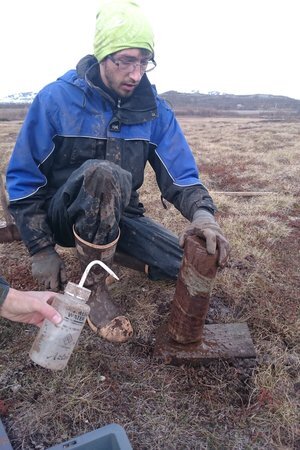
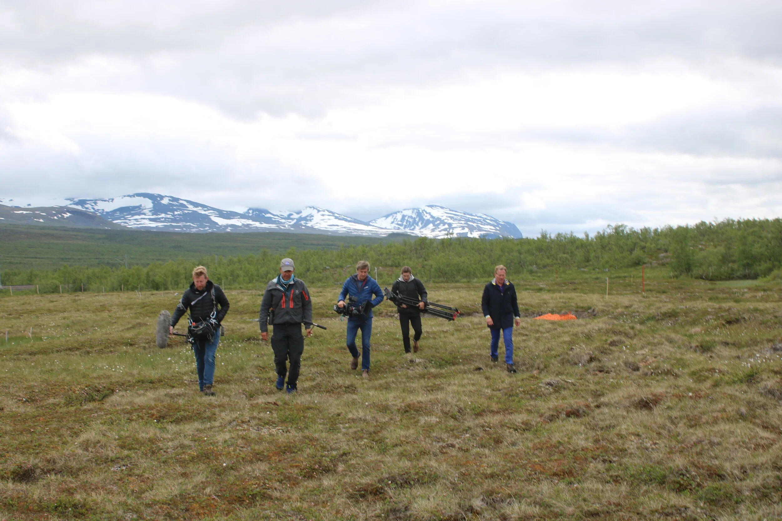
Storflaket is a permafrost plateau peat bog on the southern shore of Lake Torneträsk six km east of Abisko. Together with Stordalen, it is one of the main sites of studying permafrost and palsas and the effects of global warming on permafrost, like increased greenhouse gas emissions.
The Storflaket mire covers about 13 ha and is located along a valley bottom within a hydrological catchment, roughly in the middle of it. The mire is connected via bordering streams to catchment flows. The mire is characterized by relatively thin peat layer (50-90 cm) underlain by silty sediments. A wet zone crosses the mire, dividing Storflaket into two parts where each part is dry, but with shallow ground settings that contribute to a variation in soil moisture.
The plant community consists mainly of dwarf shrubs, sedges, mosses and lichens, and ranges from dry heath vegetation in the upraised dryer parts to moist tussock vegetation in the depressions.
Site Established:
Research Projects
Data Collected
Summary of different data sets (instrumental datasets, observations, experimental data)
Available Instruments & Infrastructure
Descriptions of instruments in the field collecting data, e.g. climate stations, flux towers, etc.
Item 1
Item 2
Item 3
Item 4
Item 5
Item 6
Principal Investigators
Meet the PI's working on projects at the Storflaket Field Site.
Collaborators
Funders
Note: we get a Funders page set up later, this can be a summary widget displaying funder blog posts tagged to this field site.
Phenology:
Funder name, hyperlinked
Storflaket Photo Gallery


Storflaket in the News
Publications
Explore publications associated with Storflaket.
2018
Pokrovsky, OS, Karlsson, J, Giesler, R (2018) Freeze-thaw cycles of Arctic thaw ponds remove colloidal metals and generate low-molecular-weight organic matter. Biogeochemistry 137 (3): 321-336. DOI: 10.1007/s10533-018-0421-6
2017
Kruger, J.P., Conen, F., Leifeld, J., Alewell, C (2017) Palsa Uplift Identified by Stable Isotope Depth Profiles and Relation of N-15 to C/N Ratio. Permafrost and Periglacial Processes 28 (2): 485-492. DOI: 10.1002/ppp.1936
2015
Thompson, MS, Giesler, R, Karlsson, J, Klaminder, J (2015) Size and characteristics of the DOC pool in near-surface subarctic mire permafrost as a potential source for nearby freshwaters. Arctic, Antarctic and Alpine Research 47 (1): 49-58. DOI: 10.1657/AAAR0014-010
2011 ...
Alewell, C, Giesler, R, Klaminder, J, Leifeld, J, Rollog, M (2011) Stable carbon isotopes as indicators for environmental change in palsa peats. Biogeosciences 8 (7): 1769-1778. DOI: 10.5194/bg-8-1769-2011


